Google Earth Engine
Google Earth Engine is a cloud based analysis platform that allows for an indexable and queriable raster and vector environment while including and expanding on raster capabilities. It allows for users to perform large scale analysis on multiple assets a large number of which it actively ingests and maintains. While mainintaing one of the world's largest repository of open source and distrubutable datasets, it allows you to scale and fit analysis based on your needs from local to global analysis. The analysis is performed using a javascript or python environment depending on the need and the results are repeatable and shareable as research outputs.
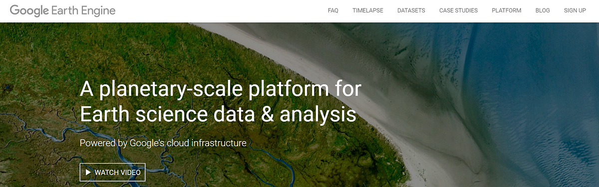
You can read more about the Google Earth Engine platform here
These set of tutorials in this workshop will introduce you to methods in getting imagery onto the Google Earth Engine platform, and how do you quickly visualize and analyze the datasets with the GEE platform. With the multitude of tools and possibilities of building your own analysis tools and toolchains.
For more information and developer guide on Google Earth Engine you can visit their developer console.
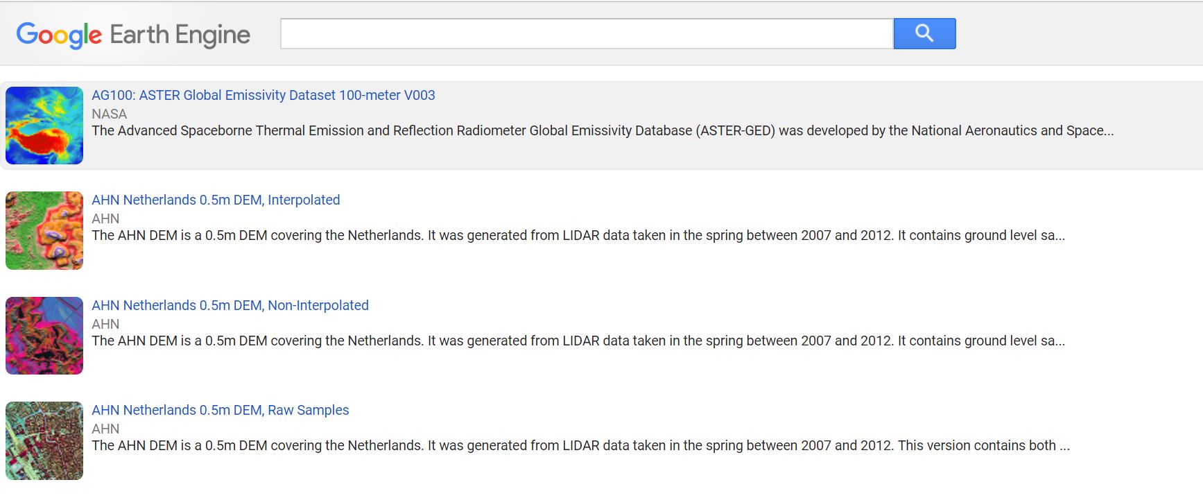
To have a look at all rasters that Google Earth Engine serves directly you can find the raster list here
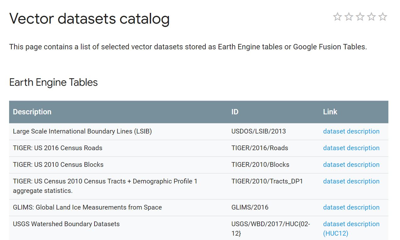
And the list of vector datasets can be found here